Professional Utility Locating & Mapping Services in Pennsylvania
Accurate underground utility locating and mapping services across Pennsylvania, helping construction projects stay safe, efficient, and on schedule.
ABOUT US
Reliable
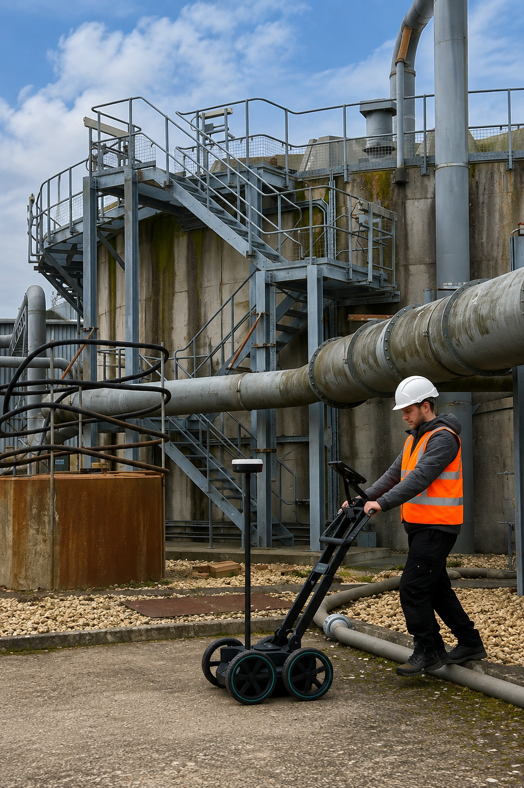
Utility Locating & Mapping Pennsylvania provides professional underground utility locating and mapping services for construction, excavation, engineering, and infrastructure projects across Pennsylvania. Our experienced team uses advanced technology to accurately identify buried utilities and subsurface features before work begins.
Our services include GPS/GIS Utility Mapping, Underground Utility Mapping, Concrete Scanning, GPR Scanning, Utility Marking, and Private Utility Locating. We focus on delivering accurate field information that helps contractors, engineers, and property owners make informed decisions and reduce the risks associated with excavation.
With a commitment to accuracy, safety, and reliable service, we help clients better understand what is beneath their property. Whether you are planning a new construction project, excavation, renovation, or infrastructure work, our Pennsylvania utility locating specialists provide the information you need for safer and more efficient project planning.
Our Services
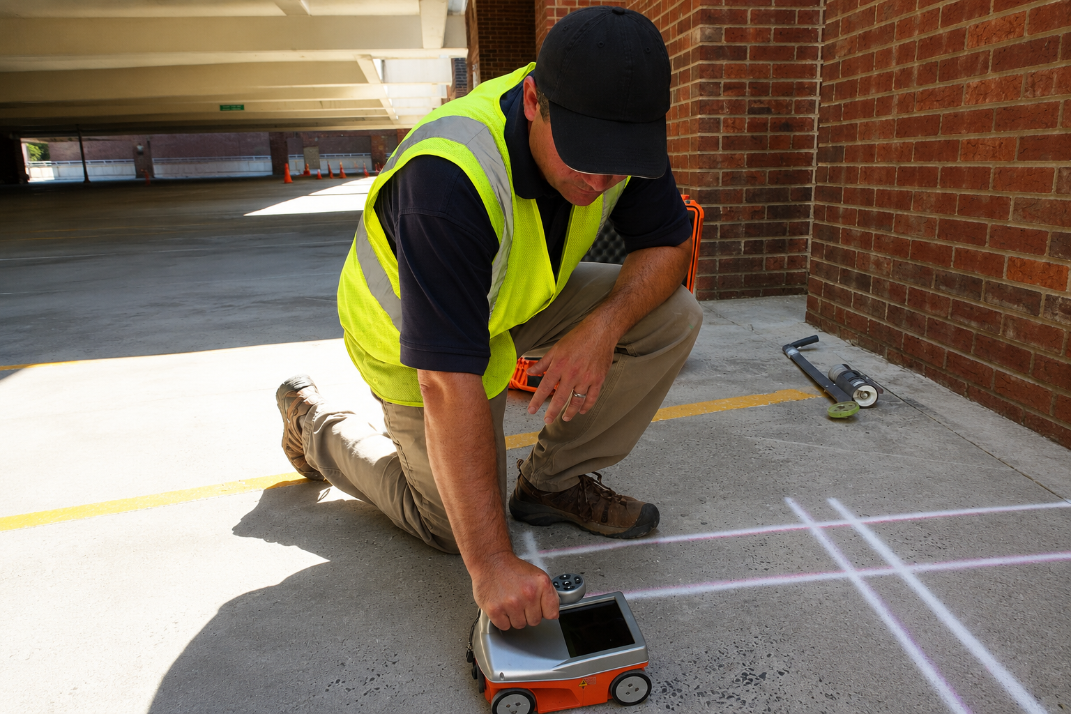
Use advanced scanning technology to locate rebar, conduits, post-tension cables, and other embedded objects in concrete, helping reduce drilling and cutting risks.
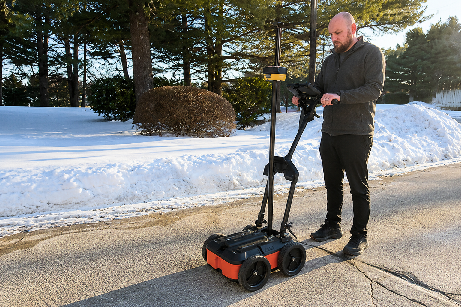
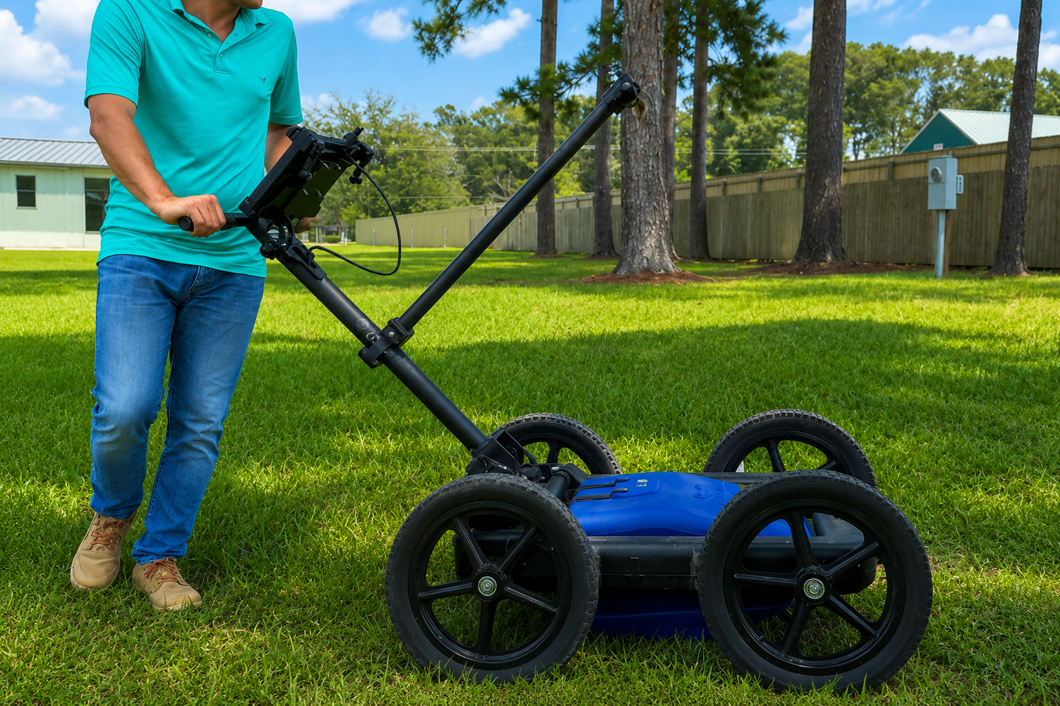
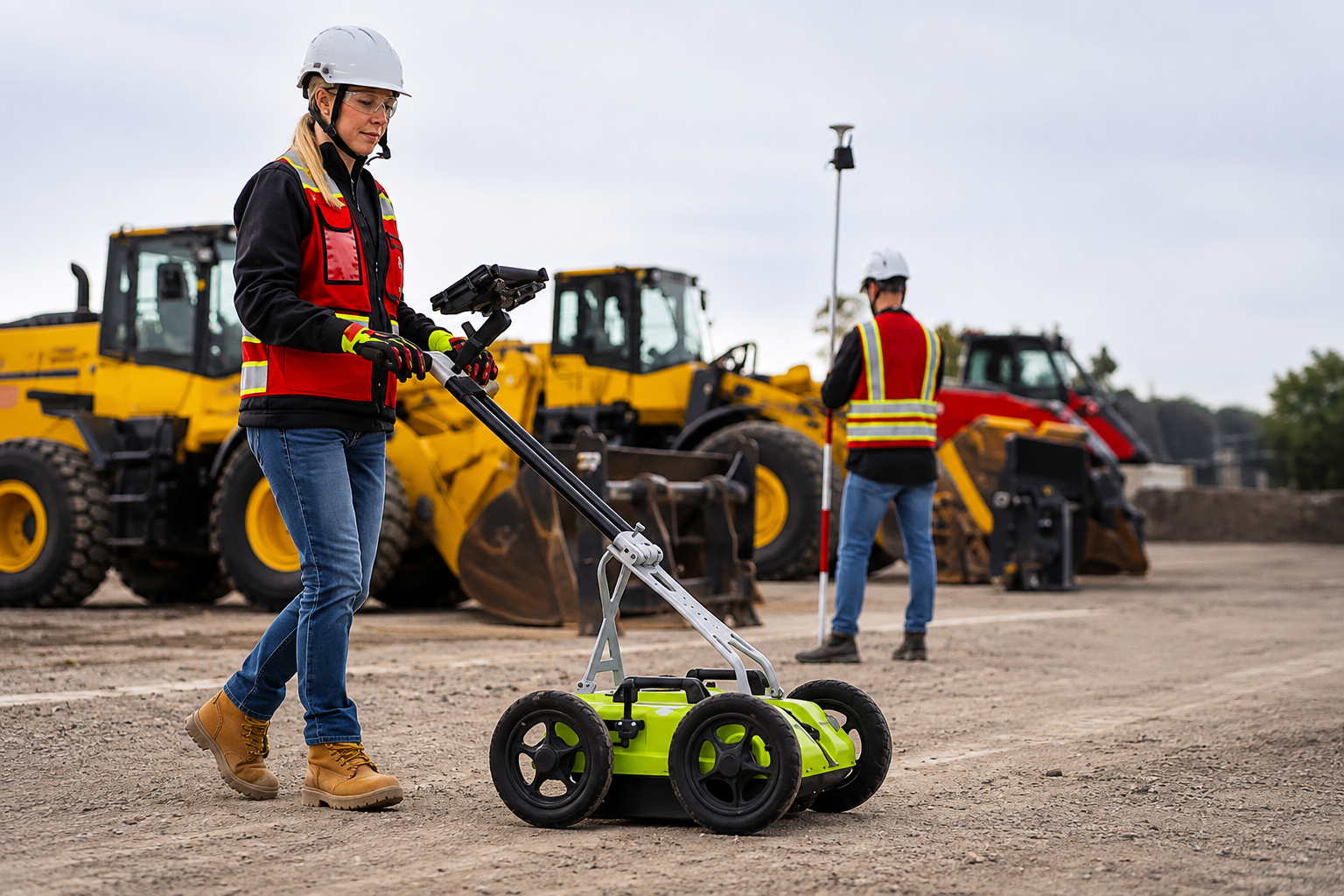
Ground Penetrating Radar (GPR) detects and maps subsurface utilities, structures, voids, and other underground features without unnecessary excavation or surface disruption.
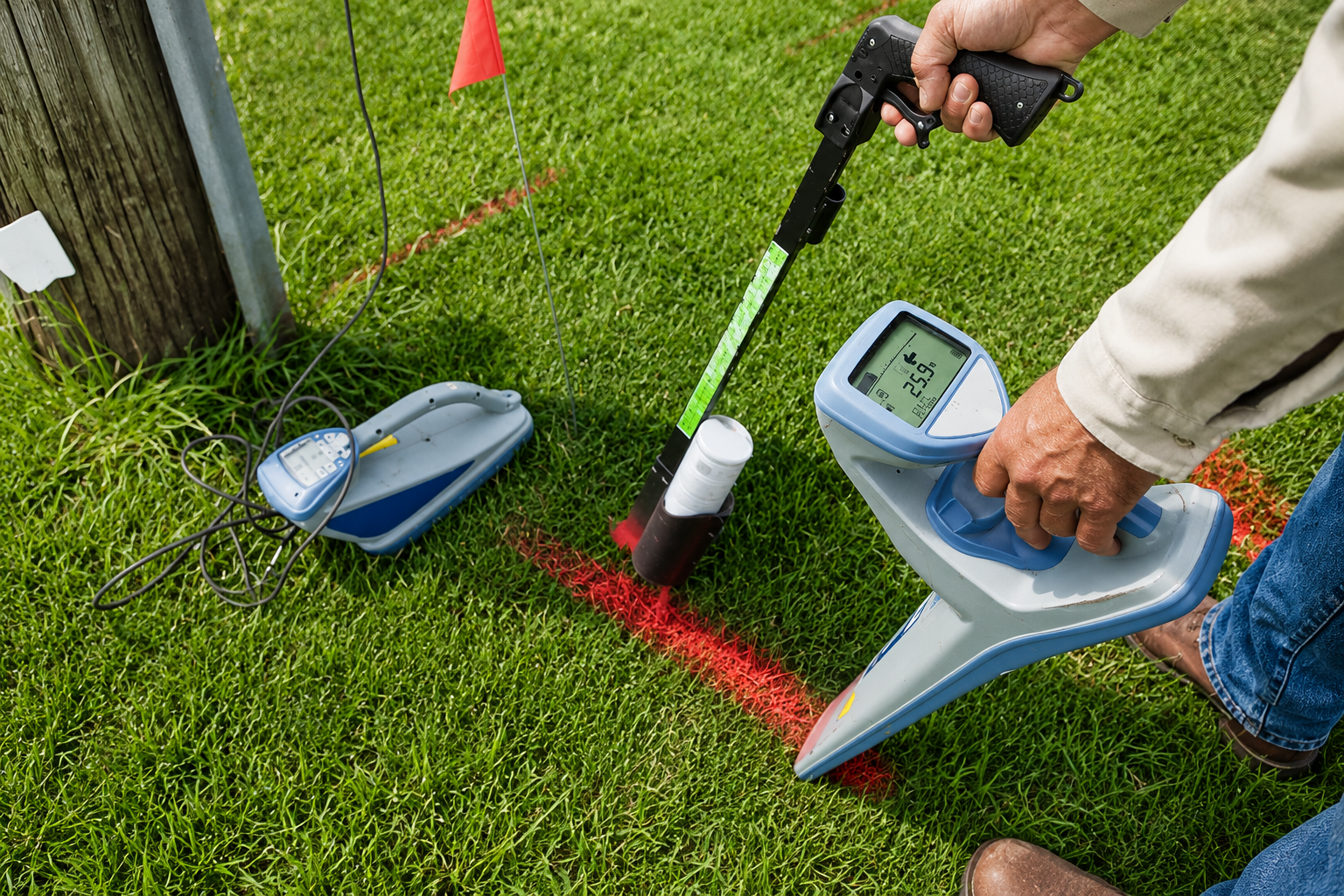
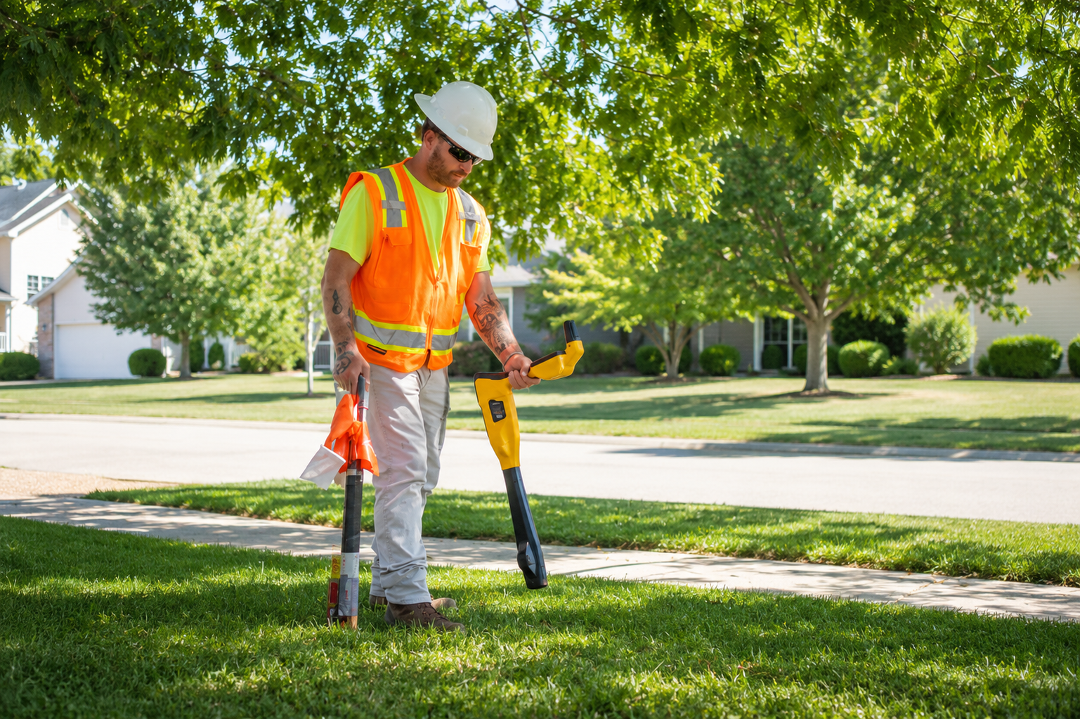
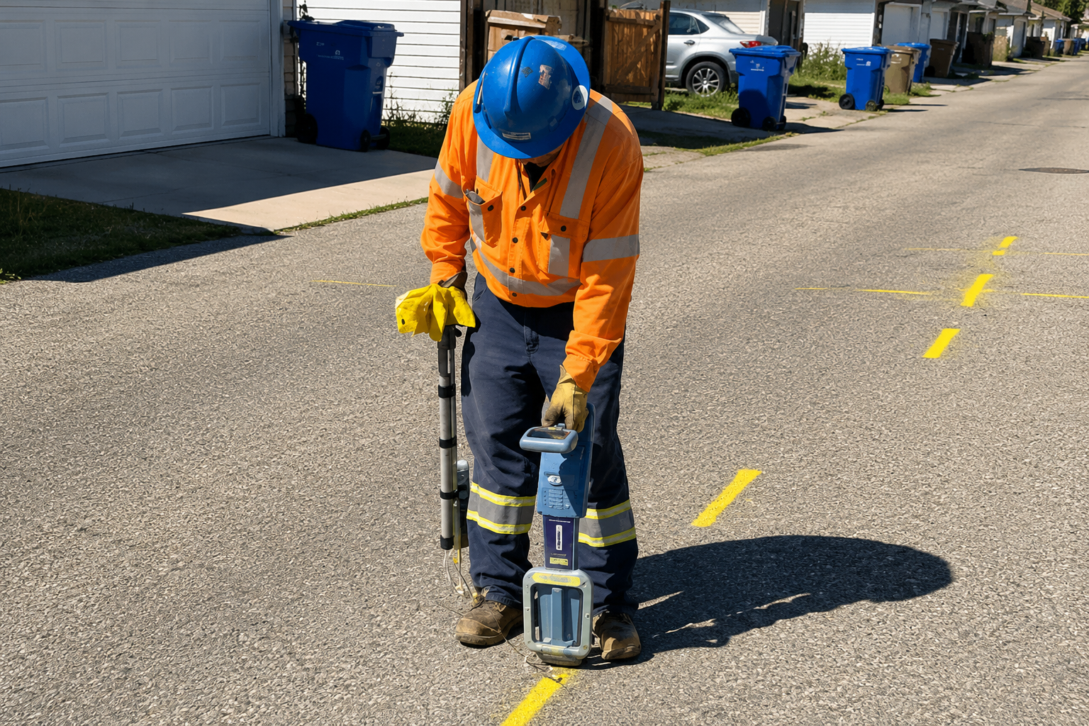
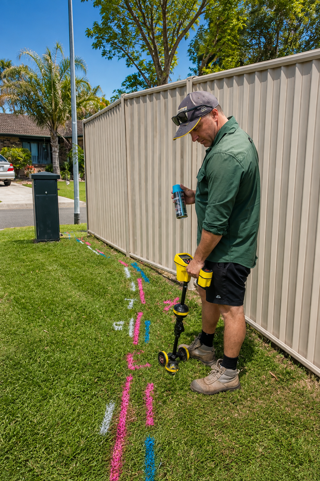
Clearly mark underground utility locations on-site using professional locating equipment, helping excavation crews identify buried infrastructure and reduce the risk of accidental damage.
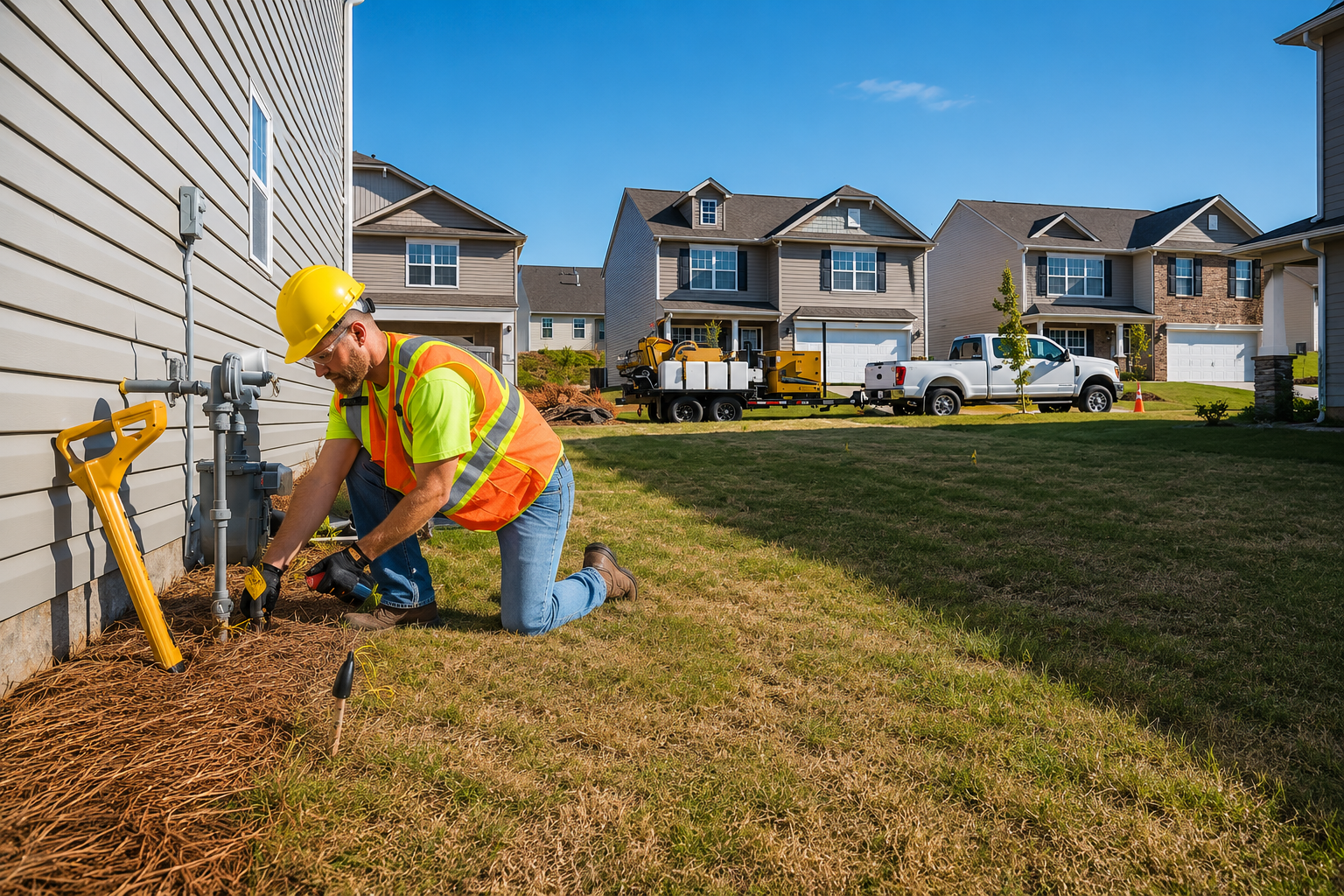
Locate privately owned underground utilities that may not be identified by public utility services, providing accurate information for safer excavation, construction, and property development.
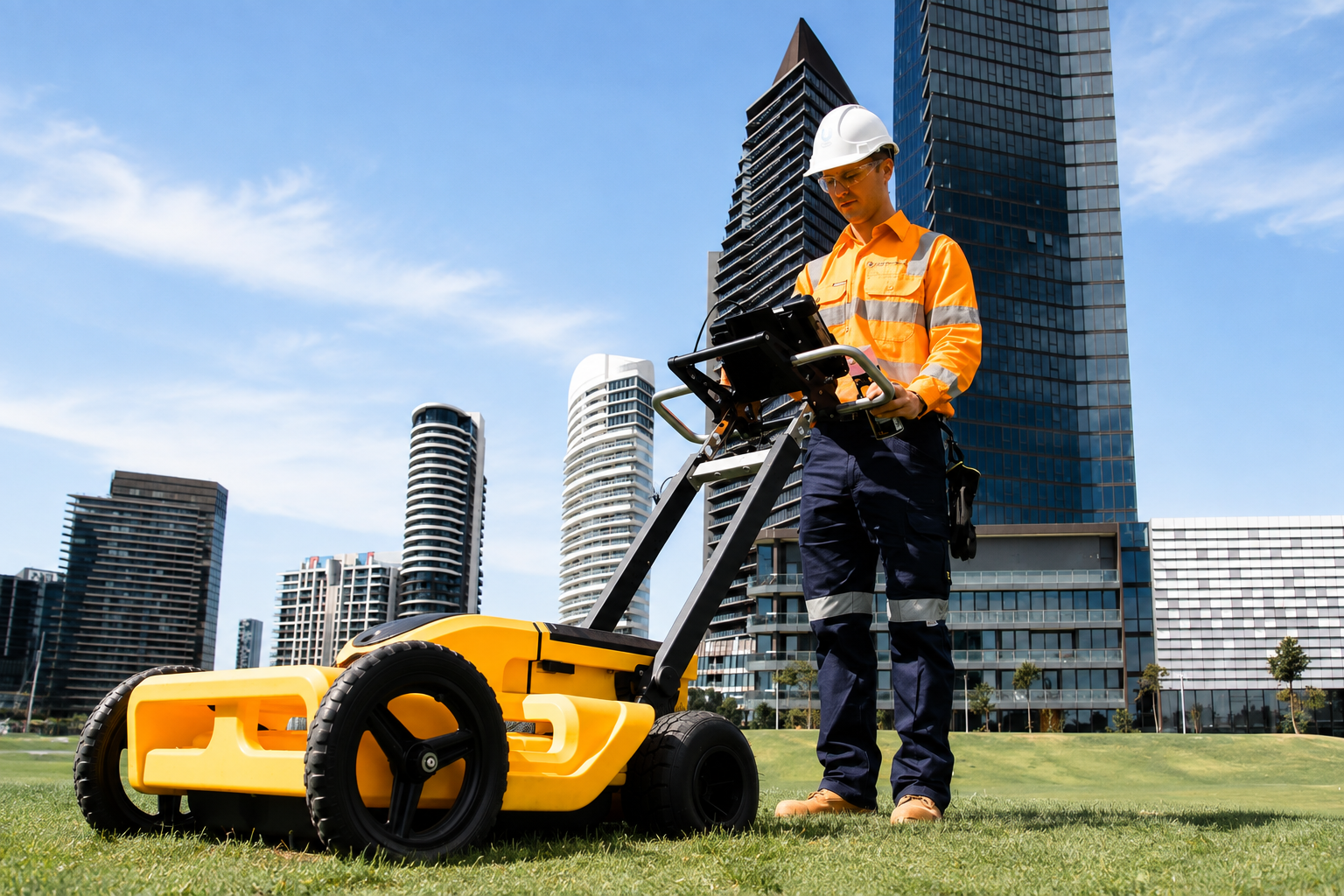
Accurately map underground and surface utilities using GPS and GIS technology, providing detailed location data for planning, construction, asset management, and infrastructure projects.
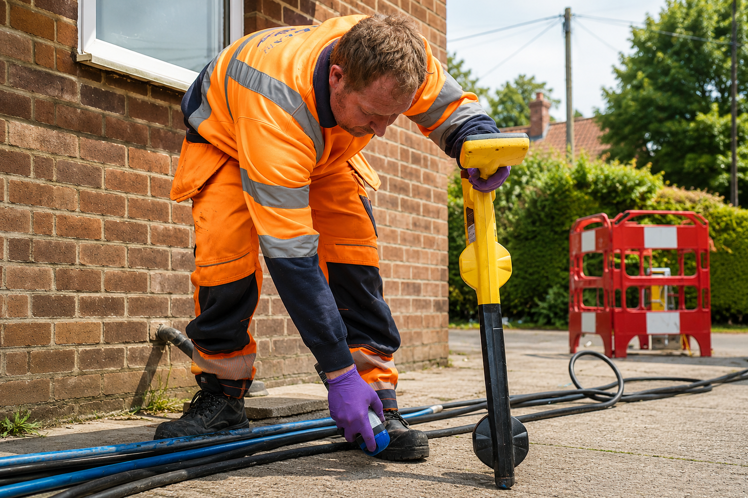
Identify and map underground utility lines with precision, helping contractors, engineers, and property owners understand subsurface infrastructure before excavation or construction begins.
The Process
Our Simple 3 Step Process

Contact Us
Start by completing the 'Get a Free Quote' form on our website to share your needs with us so we can take care of you.

Schedule Your Estimate
Next, we'll arrange a property visit at a time that works for you to provide an in-person estimate for your needs.

Get The Job Done
After you approve our estimate, we'll schedule a date to complete the job. Our team will work hard to exceed your expectations!
photo gallery
See Why Our Customers Love Us
Our Service Area?
Philadelphia
Pittsburgh
Allentown
Reading
Erie
Bethlehem
Scranton
Lancaster
Levittown
Harrisburg
York
Wilkes-Barre
Altoona
State College
Norristown
Chester
Bethel Park
Easton
Hazleton
Monroeville
Williamsport
Plum
Lebanon
King of Prussia
Pottstown
Chambersburg
New Castle
Butler
Coatesville
Sharon
Bloomsburg
Meadville
St. Marys
Jefferson Hills
Yeadon
New Kensington
Elizabethtown
Emmaus
Lower Burrell
Wyomissing
Lansdowne
Waynesboro
Darby
Nanticoke
Northampton
Berwick
Mechanicsburg
Bristol
Middletown
Morrisville
Lititz
Aliquippa
Ambridge
Greensburg
Indiana
Johnstown
McKeesport
Washington
Pottsville
Carlisle
Our Reviews
What Our Customers Have to Say About Us!
Very professional and accurate. The team located our underground utilities quickly and provided clear mapping that helped keep our project on track.

Excellent service from start to finish. They were thorough, responsive, and precise with the utility locating. Highly recommended for construction projects.
Great experience working with the team. Their utility mapping was detailed and reliable, giving us confidence before starting excavation work.
FREQUENTLY ASKED QUESTIONS
What is utility locating?
Utility locating identifies underground pipes, cables, conduits, and other buried infrastructure before excavation or construction begins.
Why is underground utility locating important?
It helps prevent accidental damage to underground utilities, improves job-site safety, reduces costly delays, and supports more efficient construction planning.
What is GPR scanning used for?
Ground Penetrating Radar (GPR) helps detect and map subsurface features, including buried utilities, concrete structures, voids, and other underground anomalies.
What is utility mapping?
Utility mapping creates detailed records of underground infrastructure, showing the location and layout of utilities to support construction, engineering, and planning.
Do you provide private utility locating in Pennsylvania?
Yes. Private utility locating can identify underground utilities on private property that may not be covered by public utility locating services.
Request A Free Quote
BUSINESS
SERVICES
SERVICE AREAS
OPERATING HOURS
Sun: Closed
Mon: 7:00am - 7:00pm
Tue: 7:00am - 7:00pm
Wed: 7:00am - 7:00pm
Thu: 7:00am - 7:00pm
Fri: 7:00am - 7:00pm
Sat: 7:00am - 7:00pm