Underground Utility Mapping Experts
What Is Underground Utility Mapping?
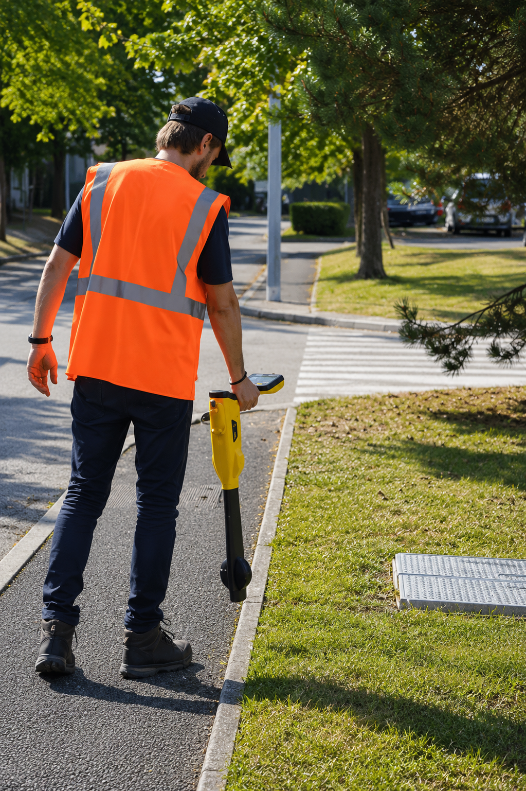
Underground utility mapping is the process of locating, identifying, and documenting buried utility infrastructure beneath the ground surface. It helps determine the approximate location and route of utilities such as water lines, gas pipes, electrical cables, telecommunications, sewer systems, and other underground infrastructure without relying solely on existing records.
Professional utility mapping may use technologies such as electromagnetic locating equipment, Ground Penetrating Radar (GPR), GPS, and GIS to collect information about subsurface utilities. Technicians investigate the designated work area and document utility routes, access points, and other relevant features. The collected information can then be used to create detailed field markings, drawings, or digital utility maps.
Underground utility mapping is valuable for construction, excavation, engineering, infrastructure development, maintenance, and site planning. Accurate utility information helps contractors and engineers identify potential conflicts before work begins, improving project safety, planning, and efficiency while reducing the risk of accidental utility damage, unexpected repairs, and costly construction delays.
When Is Underground Utility Mapping Necessary?
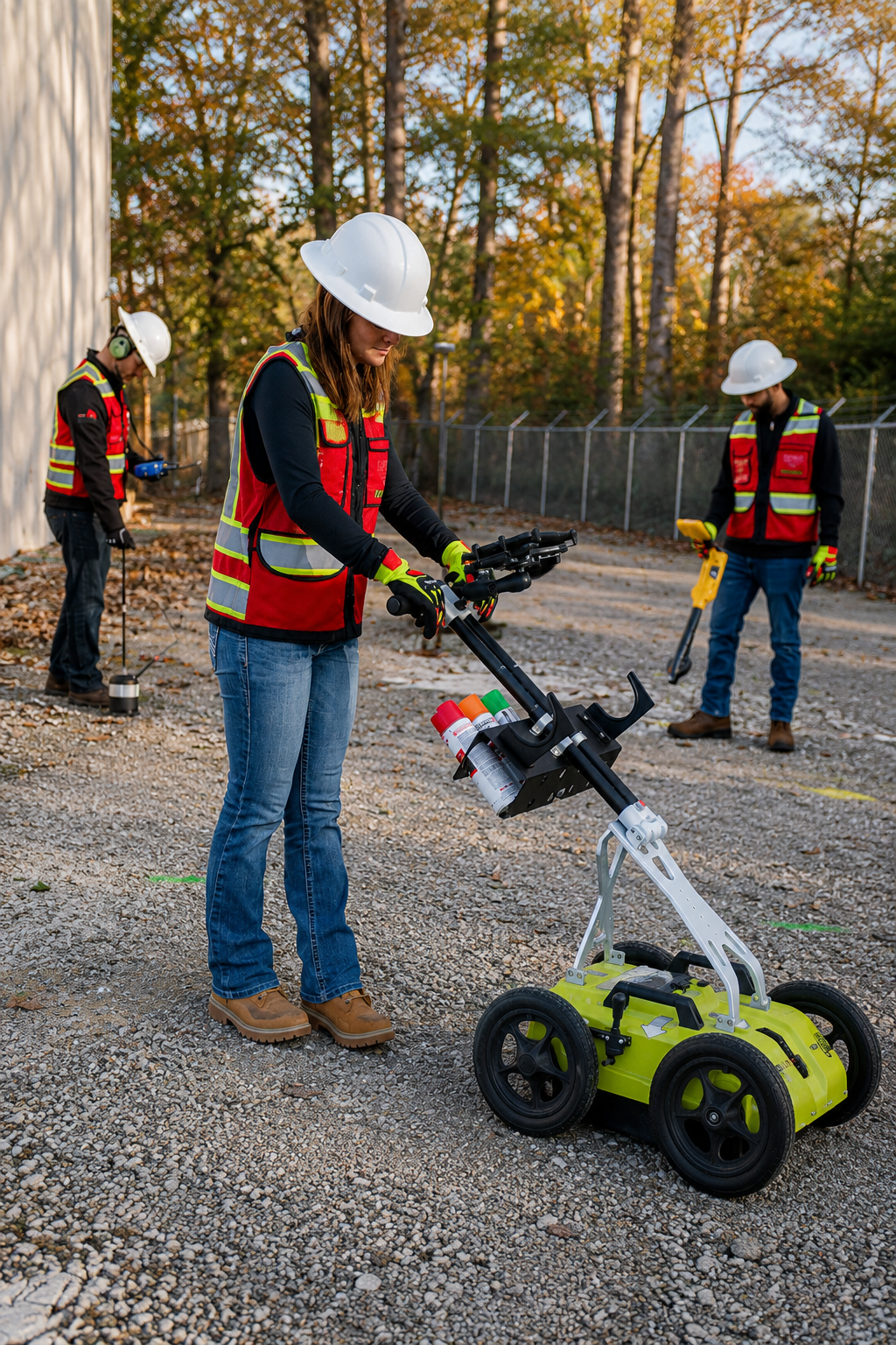
Underground utility mapping is necessary whenever accurate information about buried infrastructure is needed before excavation, construction, engineering, or site development. It is particularly important when utility locations are unknown, existing records are outdated, or multiple underground systems may be present. Mapping can identify water, gas, electrical, telecommunications, sewer, and other utility lines.
Underground utility mapping is commonly used for new construction, commercial development, roadwork, infrastructure upgrades, excavation, trenching, landscaping, and utility maintenance projects. It can also be valuable before designing foundations, drainage systems, parking areas, or other improvements that could conflict with existing underground infrastructure.
The main purpose of utility mapping is to provide clear and reliable information about underground utility locations and routes. Accurate mapping helps contractors and engineers identify potential conflicts, improve project planning, and select appropriate work areas. Professional underground utility mapping can help reduce accidental utility damage, costly repairs, construction delays, and unexpected subsurface problems.
What Is Required For Underground Utility Mapping?
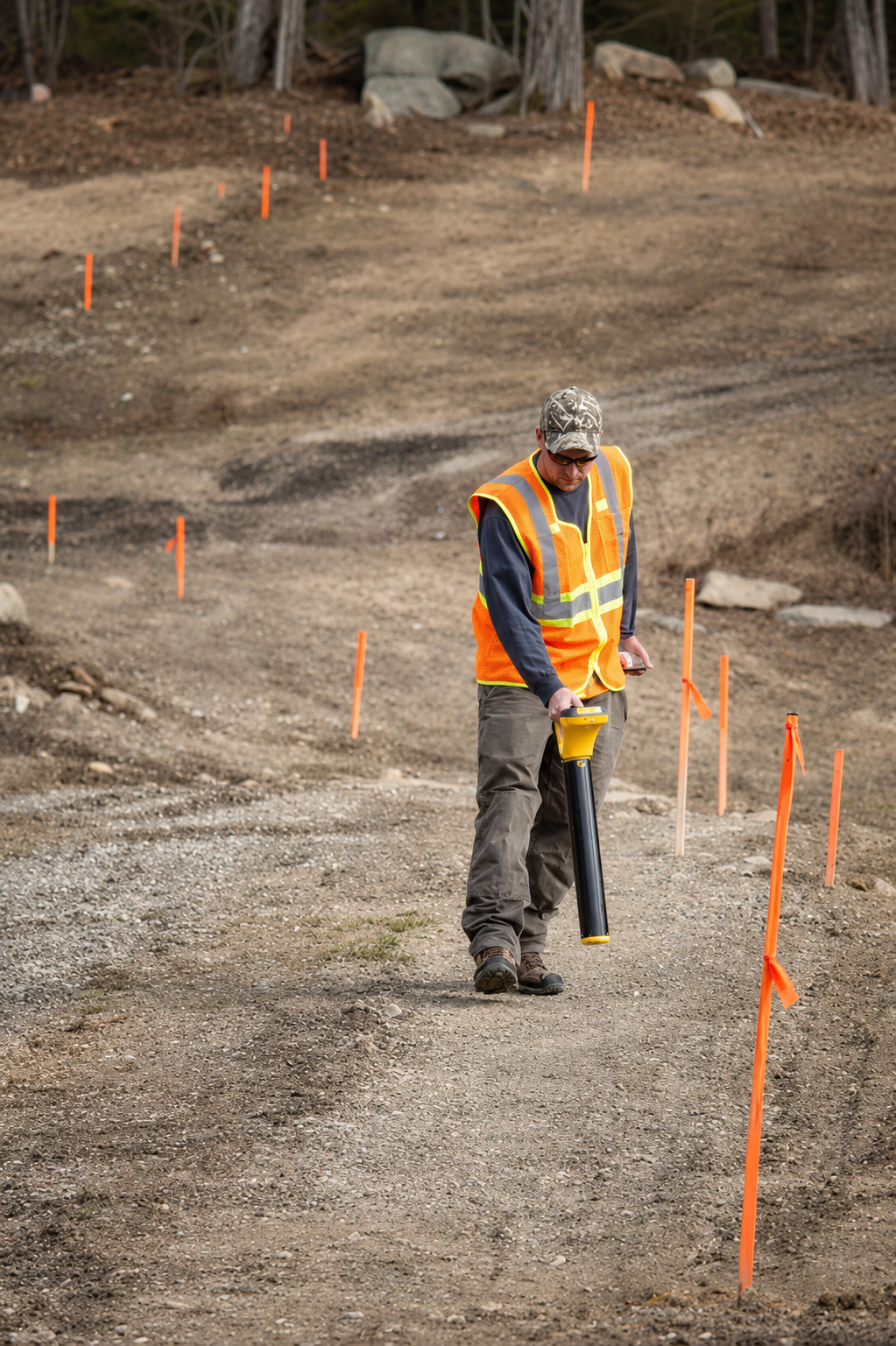
For underground utility mapping, the first requirement is clear information about the project and access to the area that needs to be investigated. Clients should provide the project boundaries, site plans, existing utility records, property information, and details about known underground infrastructure whenever available. Information about planned excavation, construction, or development can also help technicians determine which areas require detailed mapping.
Professional underground utility mapping requires specialized locating equipment and experienced technicians. Depending on site conditions and utility types, technicians may use electromagnetic locating equipment, Ground Penetrating Radar (GPR), GPS, and GIS technology to identify and document buried infrastructure. These methods can help locate water lines, gas pipes, electrical cables, telecommunications, sewer systems, conduits, and other underground features.
The work area should be accessible, reasonably clear of obstacles, and safe for field investigation. After locating the utilities, technicians can document their approximate positions, routes, depths where reliably determined, and relevant surface features to create detailed utility maps or digital records. Providing accurate project information and clear site access helps ensure more reliable mapping, better construction planning, reduced utility conflicts, and safer excavation operations.
Our Reviews
What Our Customers Have to Say About Us!
Very professional and accurate. The team located our underground utilities quickly and provided clear mapping that helped keep our project on track.

Excellent service from start to finish. They were thorough, responsive, and precise with the utility locating. Highly recommended for construction projects.
Great experience working with the team. Their utility mapping was detailed and reliable, giving us confidence before starting excavation work.
The Process
3 Step Process For Your Underground Utility Mapping Needs

Contact Us
Start by completing the 'Get a Free Quote' form on our website to share your Underground Utility Mapping needs with us.

Schedule Your Estimate
Next, we'll arrange a property visit at a time that works for you to provide an in-person estimate for your Underground Utility Mapping needs.

Get The Job Done
After you approve our estimate, we'll schedule a date to complete the job. Our team will work hard to exceed your expectations!
Request A Free Underground Utility Mapping Quote
BUSINESS
SERVICES
SERVICE AREAS
OPERATING HOURS
Sun: Closed
Mon: 7:00am - 7:00pm
Tue: 7:00am - 7:00pm
Wed: 7:00am - 7:00pm
Thu: 7:00am - 7:00pm
Fri: 7:00am - 7:00pm
Sat: 7:00am - 7:00pm