
GPS/GIS Utility Mapping Experts
What Is GPS/GIS Utility Mapping?
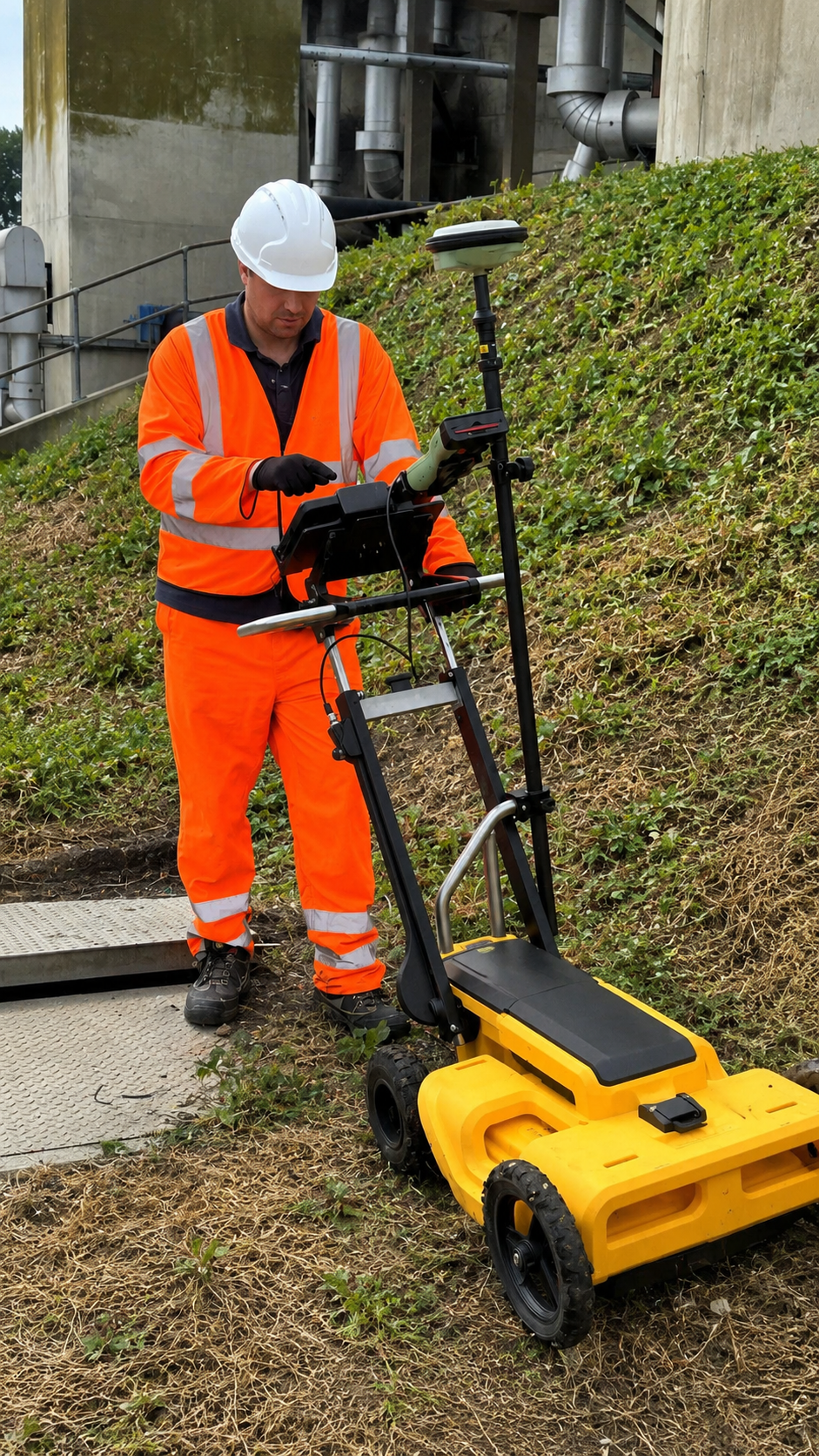
GPS/GIS utility mapping is a professional method of locating, documenting, and organizing underground and above-ground utility infrastructure using Global Positioning System (GPS) and Geographic Information System (GIS) technology. It creates accurate digital records of utility locations, routes, and related site information for easier planning and infrastructure management.
During the mapping process, technicians collect precise location data for utilities such as water lines, gas lines, electrical cables, telecommunications, sewer systems, and other infrastructure. The collected information can be organized into detailed digital maps and GIS databases, allowing contractors, engineers, property owners, and utility managers to better understand the location and layout of existing infrastructure.
The primary purpose of GPS/GIS utility mapping is to provide accurate, organized, and accessible utility information for construction, engineering, excavation, maintenance, and future development. Reliable mapping can help improve project planning, reduce the risk of utility conflicts, support asset management, and increase operational efficiency by providing a clear digital representation of utility infrastructure.
When Is GPS/GIS Utility Mapping Necessary?
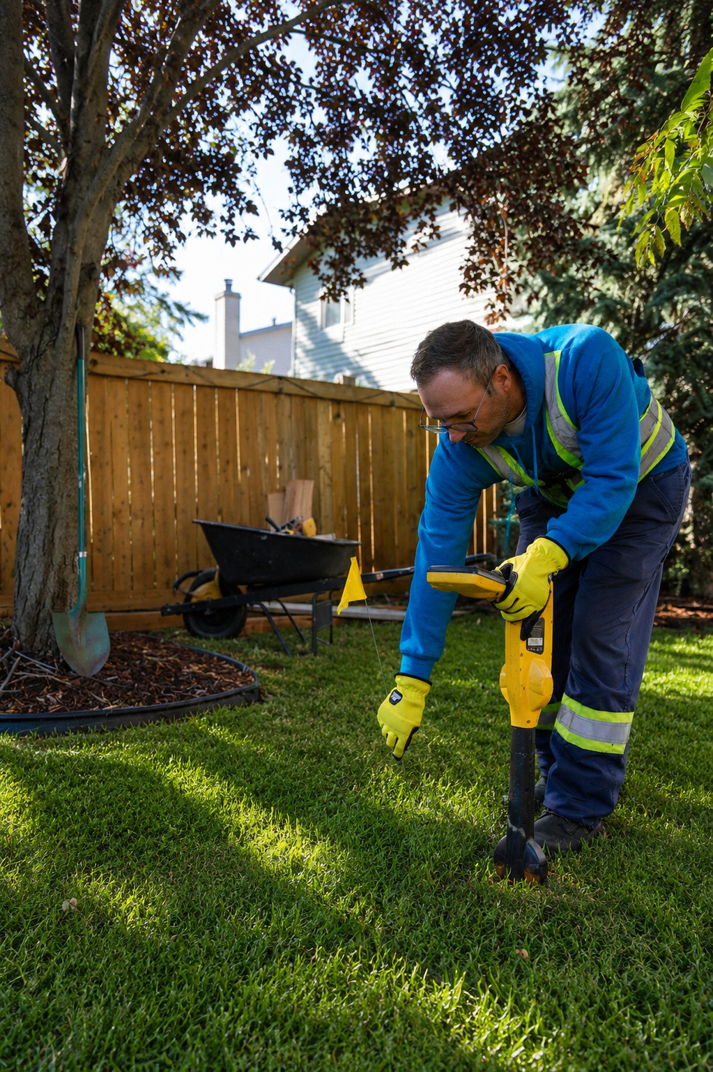
GPS/GIS utility mapping is necessary when accurate and organized information about utility infrastructure is needed for construction, excavation, engineering, maintenance, or future development. It is especially valuable when existing utility records are outdated, incomplete, or difficult to interpret. Mapping can document the locations and routes of water, gas, electrical, telecommunications, sewer, and other utility systems.
GPS/GIS utility mapping is commonly used for new construction, infrastructure development, utility upgrades, road and site improvements, commercial development, municipal projects, and large excavation operations. It can also be useful when property owners, contractors, engineers, or utility managers need to update existing records or create a reliable digital inventory of infrastructure across a property or project area.
The main purpose is to provide accurate digital utility information for better planning and decision-making. Detailed GPS/GIS data can help identify potential utility conflicts, support engineering and design work, improve asset management, and reduce the risk of unexpected underground conditions. Professional mapping provides organized spatial data that can be referenced during current projects and future maintenance or development work.
What Is Required For GPS/GIS Utility Mapping?
For GPS/GIS utility mapping, accurate project information and access to the areas being mapped are important. Clients should provide the project boundaries, site plans, existing utility records, property information, and details about known underground infrastructure whenever available. Information about the intended construction, excavation, or development can also help determine the required mapping scope.
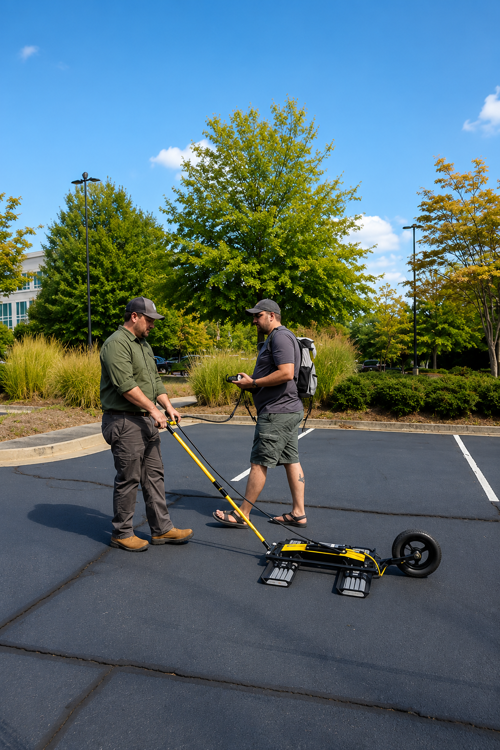
Professional GPS/GIS utility mapping requires high-accuracy GPS equipment, GIS software, and trained mapping technicians. Technicians collect precise coordinates and attribute information for water lines, gas lines, electrical systems, telecommunications, sewer infrastructure, and other utility features. Depending on the project, utility locations may first be identified through field locating methods and then recorded as accurate spatial data within a GIS system.
The work area should be accessible and reasonably clear of obstacles so technicians can safely collect reliable field data. After the survey and data collection are completed, the information can be organized into digital utility maps, GIS databases, and other project documentation. Providing accurate site information and clear project requirements helps ensure consistent mapping, better data organization, improved project planning, and reliable utility records for future construction and maintenance.
Our Reviews
What Our Customers Have to Say About Us!
Very professional and accurate. The team located our underground utilities quickly and provided clear mapping that helped keep our project on track.

Excellent service from start to finish. They were thorough, responsive, and precise with the utility locating. Highly recommended for construction projects.
Great experience working with the team. Their utility mapping was detailed and reliable, giving us confidence before starting excavation work.
The Process
3 Step Process For Your GPS/GIS Utility Mapping Needs

Contact Us
Start by completing the 'Get a Free Quote' form on our website to share your GPS/GIS Utility Mapping needs with us.

Schedule Your Estimate
Next, we'll arrange a property visit at a time that works for you to provide an in-person estimate for your GPS/GIS Utility Mapping needs.

Get The Job Done
After you approve our estimate, we'll schedule a date to complete the job. Our team will work hard to exceed your expectations!
Request A Free GPS/GIS Utility Mapping Quote

BUSINESS
SERVICES
SERVICE AREAS
OPERATING HOURS
Sun: Closed
Mon: 7:00am - 7:00pm
Tue: 7:00am - 7:00pm
Wed: 7:00am - 7:00pm
Thu: 7:00am - 7:00pm
Fri: 7:00am - 7:00pm
Sat: 7:00am - 7:00pm